.jpg)
Hiked up Behind Camp Barnard, a Scout camp at Young Lake off of Otter Point Road in Sooke. From the Main Road of Otter Point you can see the bluff to the north as you drive past Poirier lake.
The trail goes straight up the Bluff, and takes about 25 minutes non stop. Oak Bay High school running team was coming down at the time I went up and the boys were doing it in 12, running.
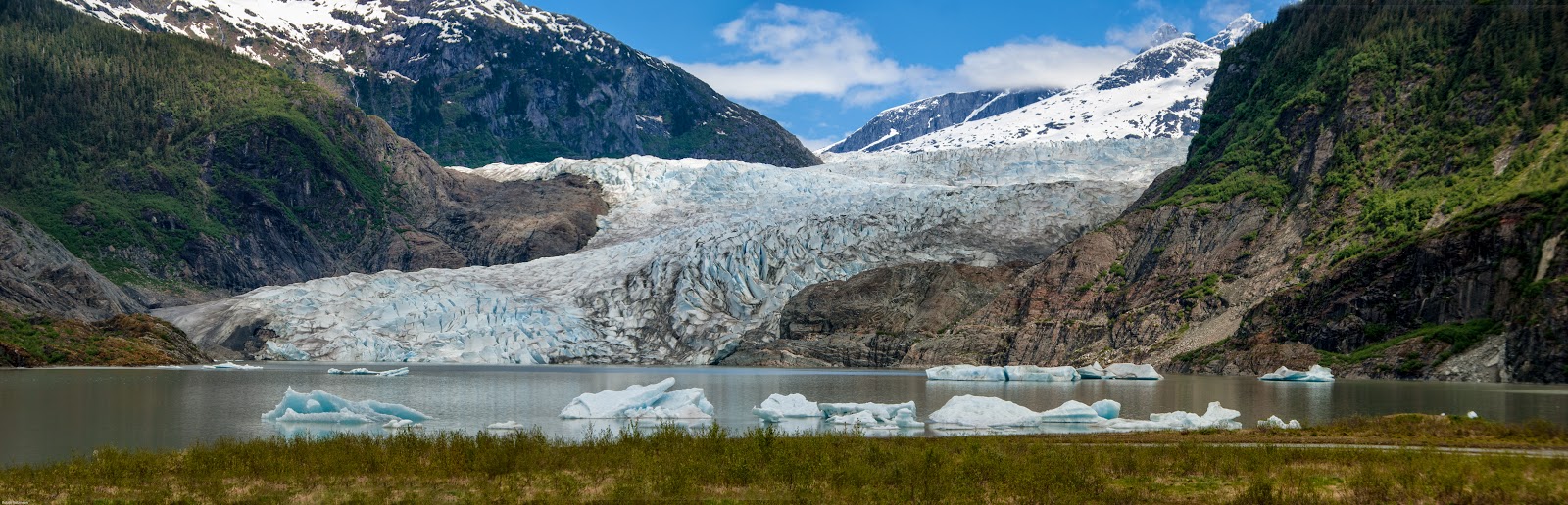
From the ridge at the top you can see Whiffen Spit and part of Sooke Basin.
.jpg)
From the top of the trail on the ridge I hiked along the open outcrops to the west. Lots of Lodgepole pine and only a few Arbutus trees , and 3 different Northern Pygmy owls calling, all doing their trill they unoften call... like a rapid toot-toot-toot...
.jpg)
.jpg)
.jpg)
.jpg)
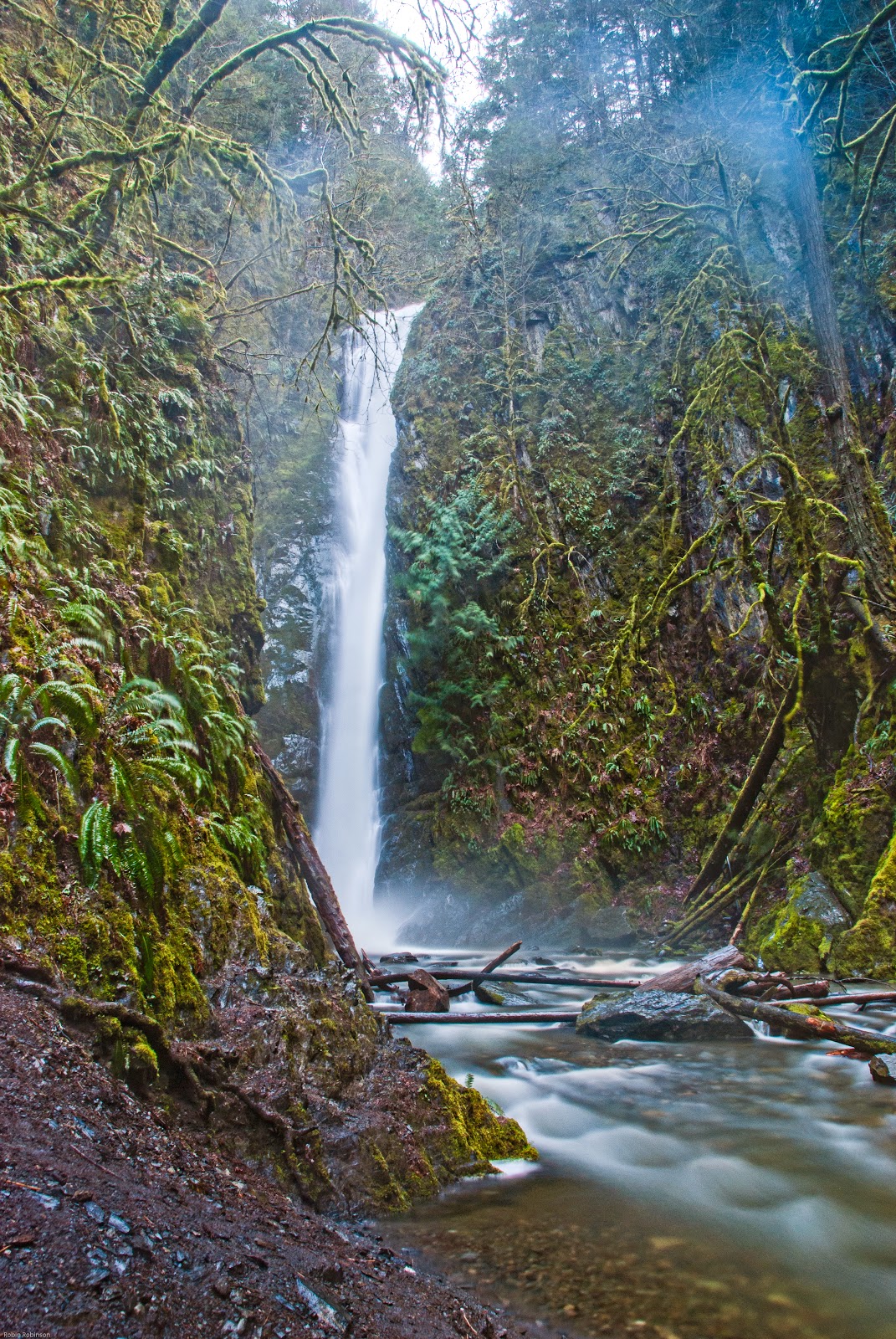
Further along the ridge I came to a bit of a motor bike trail, so I followed that, up and down and westard, toward what looked like a logging road down along a steep valley, on the GPS. I thought I could follow that back down to the scout camp. But, the road turned out to be jus the creek bed in the gulley and the bike track kept going westard toward Robinson Road, which I didn't want. SO, I took the trail less travelled and headed down the creek bed.
.jpg)
.jpg)
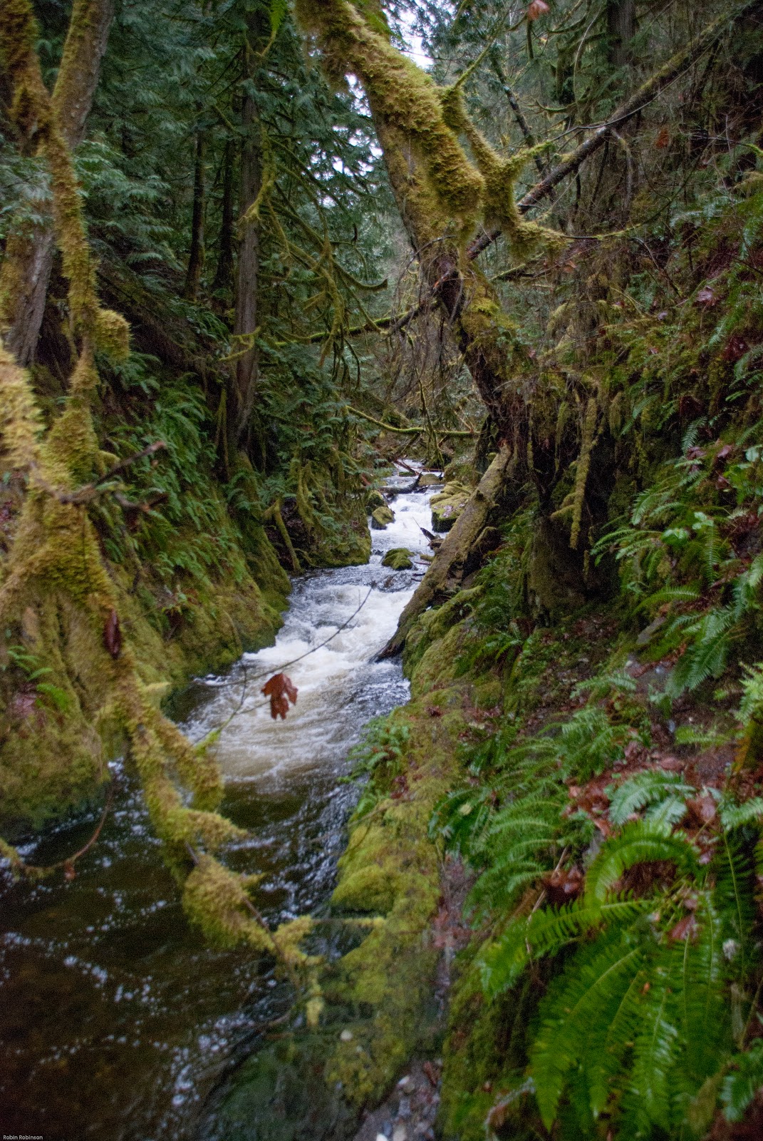
.jpg) Kind of a mistake, it got to where I was crawling sometimes on my hands and knees under the salmon berries and Nine Bark trees. I eventually came to an old overgrown Logging road. I followed the next creek bed down to the scout camp roadway, yay! back to sort of civilization.
Kind of a mistake, it got to where I was crawling sometimes on my hands and knees under the salmon berries and Nine Bark trees. I eventually came to an old overgrown Logging road. I followed the next creek bed down to the scout camp roadway, yay! back to sort of civilization..jpg)
.jpg)
.jpg)
.jpg)
.jpg)
.jpg)
.jpg)


.jpg)
.jpg)
.jpg)
.jpg)